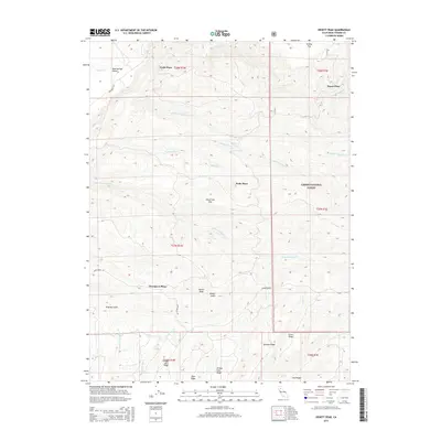
2015 Map of Dewitt Peak
USGS Topo · Published 2015About this map
Dewitt Peak rises as the central landmark in this portion of Tehama County, overlooking a landscape defined by sharp ridges and seasonal watercourses. The eastern portion of the map is dominated by the Lassen National Forest, where the terrain transitions into a series of prominent elevations including Speegle Ridge and Greer Ridge. A notable pattern of small, family-named locales such as Facht Place, Payne Place, Wells Place, and Thompson Place suggests a history of ranching or homesteading in the foothills. The drainage network is particularly dense here, with Antelope Cr, Cottonwood Cr, and Little N Fork Dye Cr carving through the plateau. Unusual topographic features like Dead Cow Flat and Mud Springs Plains provide specific points of interest for those studying the regional geography and land use history of the southern Cascades foothills.
Find a feature on this map
36 named features on this map. Tap any name to fly to it.
Don’t see what you’re looking for? This feature index may not catch every label — zoom into the map to look around manually.
Map Details
Editions of this 2015 Dewitt Peak Map
This is the sole edition of this map. No revisions or reprints were ever made.
Other maps of this area

1886 · Lassen Peak
USGS Topo · 1:250,000

1890 · Red Bluff
USGS Topo · 1:250,000

1892 · Lassen Peak
USGS Topo · 1:250,000

1894 · Lassen Peak
USGS Topo · 1:250,000

1894 · Red Bluff
USGS Topo · 1:250,000

1905 · Tehama
USGS Topo · 1:62,500

1935 · Paynes Creek
USGS Topo · 1:96,000

1941 · Mineral
USGS Topo · 1:125,000

1944 · Tuscan Buttes
USGS Topo · 1:62,500

1947 · Tuscan Buttes
USGS Topo · 1:62,500