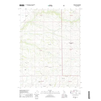
2018 Map of Dewitt Peak
USGS Topo · Published 2018About this map
Dewitt Peak rises above a series of prominent ridges and drainages in this section of Tehama County, where the southern reaches of the Lassen National Forest meet the open livestock ranges of Mud Springs Plains and Durley Flat. The landscape is defined by its volcanic geology and water systems, including the complex forks of Dye Cr and Antelope Cr that have carved deep canyons like Dewitt Gulch and Kingsley Gulch. This 2018 survey illustrates the persistent use of these lands for grazing and timber, noted by named landmarks such as Dead Cow Flat and Willow Tree Ridge. Transportation through this isolated country remains anchored to historic routes like Hogsback Rd and Cone Grove Rd, which traverse the high ground between the various gulches and ridges.
Find a feature on this map
32 named features on this map. Tap any name to fly to it.
Don’t see what you’re looking for? This feature index may not catch every label — zoom into the map to look around manually.
Map Details
Editions of this 2018 Dewitt Peak Map
This is the sole edition of this map. No revisions or reprints were ever made.
Other maps of this area

1886 · Lassen Peak
USGS Topo · 1:250,000

1890 · Red Bluff
USGS Topo · 1:250,000

1892 · Lassen Peak
USGS Topo · 1:250,000

1894 · Lassen Peak
USGS Topo · 1:250,000

1894 · Red Bluff
USGS Topo · 1:250,000

1905 · Tehama
USGS Topo · 1:62,500

1935 · Paynes Creek
USGS Topo · 1:96,000

1941 · Mineral
USGS Topo · 1:125,000

1944 · Tuscan Buttes
USGS Topo · 1:62,500

1947 · Tuscan Buttes
USGS Topo · 1:62,500