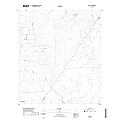
2019 Map of Dewville
USGS Topo · Published 2019About this map
Dewville sits at the southern reach of this landscape, where the confluence of local history and agricultural drainage is evident along Sandies Creek. This area of Gonzales County is characterized by significant topographic variation, from the elevations of Capote Knob and the Capote Hills in the north to the carved pathways of Dukes Hollow and Sandy Hollow. For those tracing local roots, the presence of the Dewville Cem and Sandy Chapel Cem provides essential coordinate data for ancestral sites. The drainage network is complex, featuring Tidwell Cr, O'Neal Cr, and Polecat Cr, which define the ranching and farming divisions of the region. Distinctive ridges such as High Point Ridge and Deer Ridge stand out against the creek bottoms, while Quien Sabe Lake Number 2 offers a named water feature amidst the rural road network of FM 1117 and various ranch-to-market routes.
Find a feature on this map
51 named features on this map. Tap any name to fly to it.
Don’t see what you’re looking for? This feature index may not catch every label — zoom into the map to look around manually.
Map Details
Editions of this 2019 Dewville Map
This is the sole edition of this map. No revisions or reprints were ever made.
Other maps of this area

1911 · San Marcos
USGS Topo · 1:125,000

1919 · San Marcos
USGS Topo · 1:125,000

1920 · Smiley
USGS Topo · 1:125,000

1924 · San Marcos 3-c
USGS Topo · 1:48,000

1924 · San Marcos 3-d
USGS Topo · 1:48,000

1925 · San Marcos 4-c
USGS Topo · 1:48,000

1929 · Luling
USGS Topo · 1:62,500

1930 · Seguin
USGS Topo · 1:62,500

1942 · Dewville
USGS Topo · 1:62,500

1953 · Seguin
USGS Topo · 1:250,000