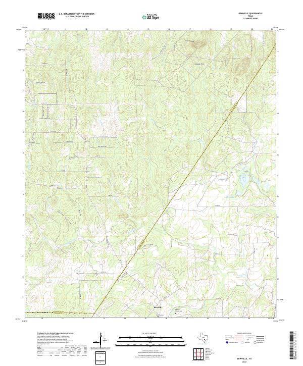
2022 Map of Dewville
USGS Topo · Published 2022About this map
The small community of Dewville serves as the focal point for this rural landscape in the 2020s, situated near the boundary between Guadalupe and Gonzales counties. The area is defined by its numerous small drainages and hollows, including Sandies Creek, Tidwell Cr, and the distinctive Dukes Hollow. To the north, the terrain rises into the Capote Hills, marked by the prominent Capote Knob.
Find a feature on this map
52 named features on this map. Tap any name to fly to it.
Don’t see what you’re looking for? This feature index may not catch every label — zoom into the map to look around manually.
Map Details
Editions of this 2022 Dewville Map
This is the sole edition of this map. No revisions or reprints were ever made.
Other maps of this area

1911 · San Marcos
USGS Topo · 1:125,000

1919 · San Marcos
USGS Topo · 1:125,000

1920 · Smiley
USGS Topo · 1:125,000

1924 · San Marcos 3-c
USGS Topo · 1:48,000

1924 · San Marcos 3-d
USGS Topo · 1:48,000

1925 · San Marcos 4-c
USGS Topo · 1:48,000

1929 · Luling
USGS Topo · 1:62,500

1930 · Seguin
USGS Topo · 1:62,500

1942 · Dewville
USGS Topo · 1:62,500

1953 · Seguin
USGS Topo · 1:250,000