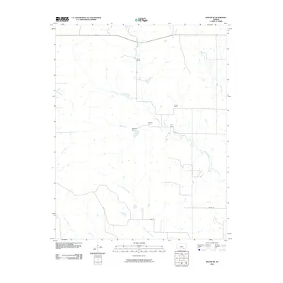
2010 Map of Dexter NE
USGS Topo · Published 2010About this map
Boone Ranch and Ramsey Ranch anchor this rural landscape in southeastern Kansas, where large-scale landholdings define the settlement pattern. The terrain is deeply inscribed by a complex network of waterways, including the winding course of Otter Creek and its many tributaries such as Shafer Creek and Jim Creek. A distinct rise at Hogback Hill provides a vantage point over the drainage basins of North Cedar Creek and Plum Creek. The road system follows a rigid section-line grid, exemplified by 162nd RD and 202nd RD, which facilitates movement between established properties like Mills Ranch and Folsom Ranch. This survey illustrates the enduring agricultural character of Cowley County, showing how modern transportation routes like Kansas RD navigate the many creek crossings that characterize this part of the Flint Hills region.
Find a feature on this map
19 named features on this map. Tap any name to fly to it.
Don’t see what you’re looking for? This feature index may not catch every label — zoom into the map to look around manually.
Map Details
Editions of this 2010 Dexter NE Map
This is the sole edition of this map. No revisions or reprints were ever made.
Other maps of this area

1885 · Sedan
USGS Topo · 1:125,000

1889 · Burden
USGS Topo · 1:125,000

1889 · Sedan
USGS Topo · 1:125,000

1955 · Wichita
USGS Topo · 1:250,000

1958 · Wichita
USGS Topo · 1:250,000
1962 · Cedar Vale West
USGS Topo · 1:24,000

1962 · Dexter SW
USGS Topo · 1:24,000

1962 · Grand Summit
USGS Topo · 1:24,000

1962 · Dexter
USGS Topo · 1:24,000
1962 · Cedar Vale East
USGS Topo · 1:24,000