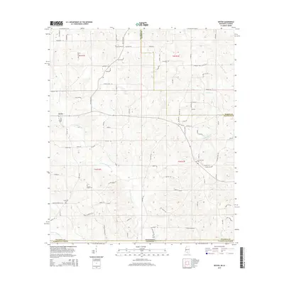
2015 Map of Dexter
USGS Topo · Published 2015About this map
The settlement of Dexter serves as a central point in this 2015 study of the borderlands between Mississippi and Louisiana. The landscape is heavily defined by the winding paths of the E Fork Pushepatapa Cr and its various tributaries, such as Hurricane Cr and Sandy Hook Cr. This survey documents a rural environment where family names are deeply etched into the geography through numerous private and community burial grounds, including Crystal Springs Cem, Fortenberry Cem, and the Tom Nat Stogner Cem.
Find a feature on this map
89 named features on this map. Tap any name to fly to it.
Don’t see what you’re looking for? This feature index may not catch every label — zoom into the map to look around manually.
Map Details
Editions of this 2015 Dexter Map
This is the sole edition of this map. No revisions or reprints were ever made.
Other maps of this area

1942 · Thomas
USGS Topo · 1:31,680

1949 · Angie
USGS Topo · 1:31,680

1950 · Crains Creek
USGS Topo · 1:31,680

1953 · Hattiesburg
USGS Topo · 1:250,000

1953 · Natchez
USGS Topo · 1:250,000

1953 · Mobile
USGS Topo · 1:250,000

1954 · Baton Rouge
USGS Topo · 1:250,000

1956 · Natchez
USGS Topo · 1:250,000

1956 · Baton Rouge
USGS Topo · 1:250,000

1957 · Mobile
USGS Topo · 1:250,000