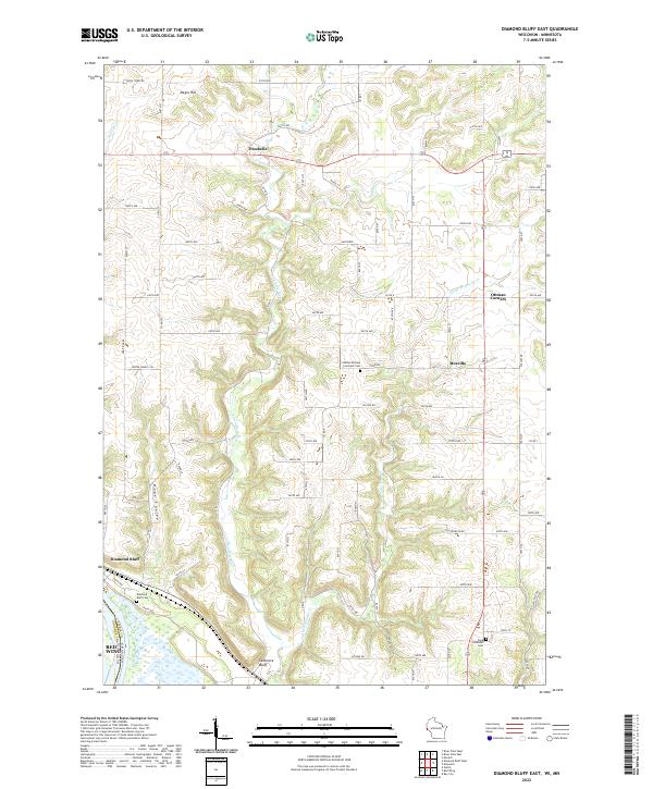
2022 Map of Diamond Bluff East
USGS Topo · Published 2022About this map
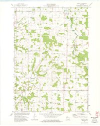
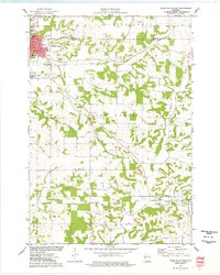
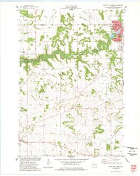
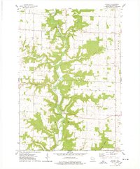
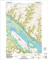
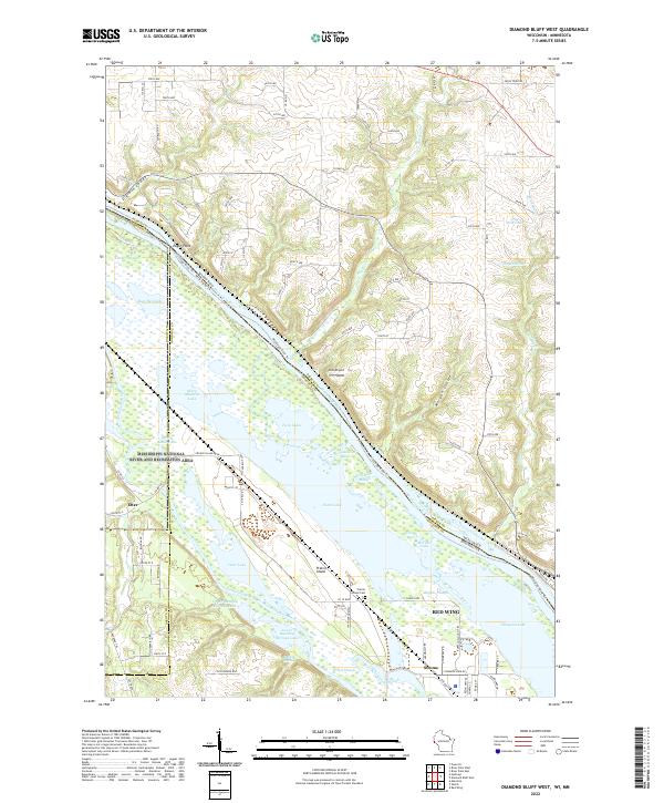
The Trimbelle River and its various tributaries, including Little Trimbelle Cr and Spring Cr, define the dissected topography of this Pierce County landscape. The terrain is marked by significant elevation changes, from the heights of Negro Hill in the north to the dramatic bluffs overlooking the border with Minnesota. Settlements such as Trimbelle, Moeville, and Ottman Corners are scattered across a grid of rural roads, often situated near watercourses or along the ridges. Cultural and genealogical history is preserved at several local burying grounds, notably Diamond Bluff Cem, Svea Lutheran Cem, and the Bethel Mission Covenant Cem. The southern edge of the map follows the winding path of the river valley near Skidmore Bluff and Diamond Bluff, where the landscape shifts toward the larger drainage basin near Red Wing.
Find a feature on this map
77 named features on this map. Tap any name to fly to it.
Don’t see what you’re looking for? This feature index may not catch every label — zoom into the map to look around manually.
Map Details
Editions of this 2022 Diamond Bluff East Map
This is the sole edition of this map. No revisions or reprints were ever made.
Historical Maps of Ottman Corners Through Time
17 maps found

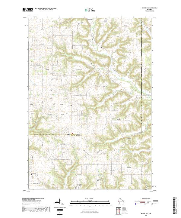
1972 Nerike Hill
Pierce County, WI
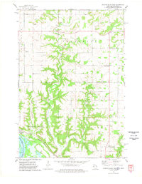
1974 Diamond Bluff East
Pierce County, WI
1974 Diamond Bluff West
Pierce County, WI
1974 El Paso
Pierce County, WI
1974 Martell
Pierce County, WI
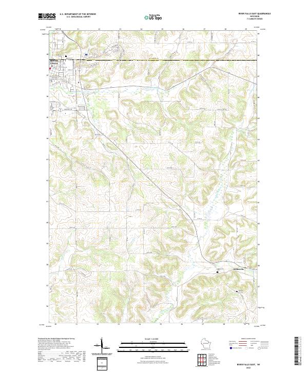
1974 River Falls East
Pierce County, WI
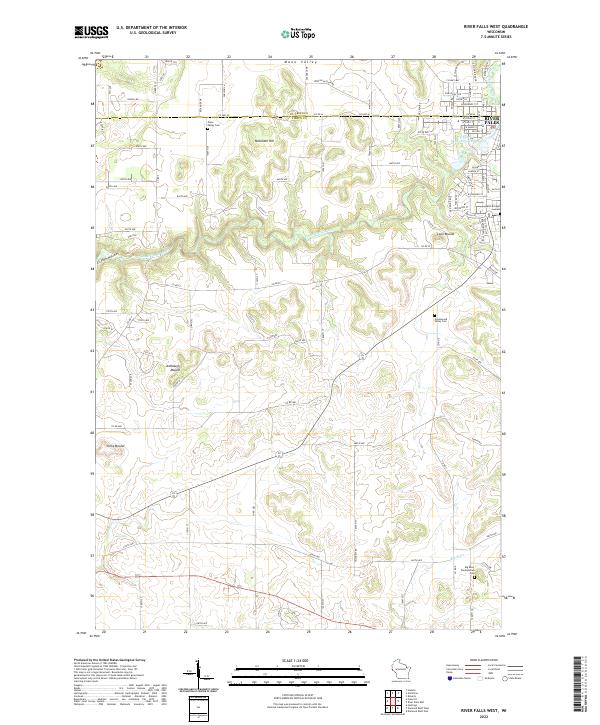
1974 River Falls West
Pierce County, WI
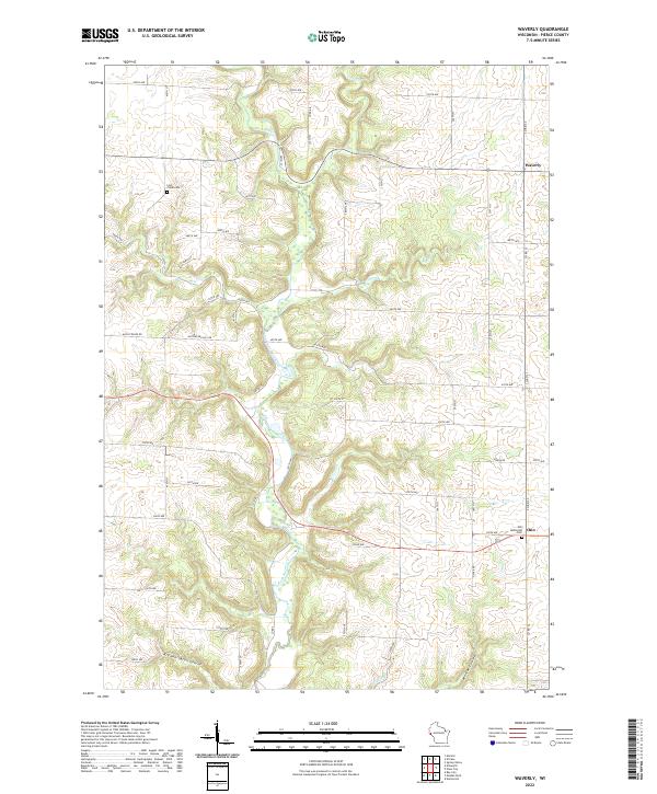
1974 Waverly
Pierce County, WI
1992 Diamond Bluff West
Pierce County, WI
2022 Diamond Bluff East
Pierce County, WI
2022 Diamond Bluff West
Pierce County, WI
2022 El Paso
Pierce County, WI
2022 Martell
Pierce County, WI
2022 Nerike Hill
Pierce County, WI
2022 River Falls East
Pierce County, WI
2022 River Falls West
Pierce County, WI
2022 Waverly
Pierce County, WI