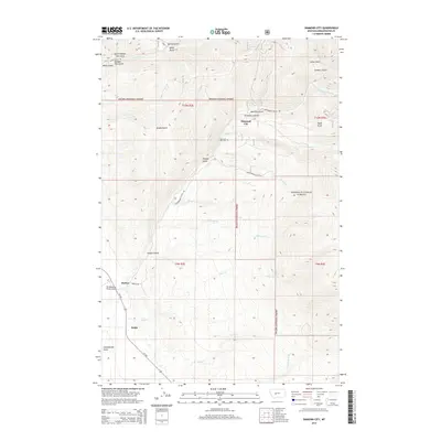
2014 Map of Diamond City
USGS Topo · Published 2014About this map
Diamond City lies at the intersection of several topographic drainages, serving as a focal point within the Helena National Forest. The landscape is defined by a dense network of gulches, including Confederate Gulch, Montana Gulch, and Greenhorn Gulch, which suggest a history of resource extraction and rugged Montana settlement. Evidence of local life is recorded at the Diamond City Cem and the small airfield at Elk Meadows Ranch Airport near Barker. The map reveals a complex hydraulic system where White Cr and Boulder Cr carve through high-elevation terrain, with the southern portion of the quadrangle transitioned by the path of MT-284 near the settlement of Noble. This 2014 survey documents the enduring geographical nomenclature of a region shaped by both its mountain geography and its early frontier outposts.
Find a feature on this map
39 named features on this map. Tap any name to fly to it.
Don’t see what you’re looking for? This feature index may not catch every label — zoom into the map to look around manually.
Map Details
Editions of this 2014 Diamond City Map
This is the sole edition of this map. No revisions or reprints were ever made.
Other maps of this area

1886 · Fort Logan
USGS Topo · 1:250,000

1948 · White Sulphur Springs
USGS Topo · 1:250,000

1950 · Canyon Ferry
USGS Topo · 1:62,500

1950 · Townsend
USGS Topo · 1:62,500

1950 · Duck Creek Pass
USGS Topo · 1:62,500

1958 · White Sulphur Springs
USGS Topo · 1:250,000

1961 · White Sulphur Springs
USGS Topo · 1:250,000

1965 · White Sulphur Springs
USGS Topo · 1:250,000

1966 · Boulder Baldy
USGS Topo · 1:24,000

1966 · Diamond City
USGS Topo · 1:24,000