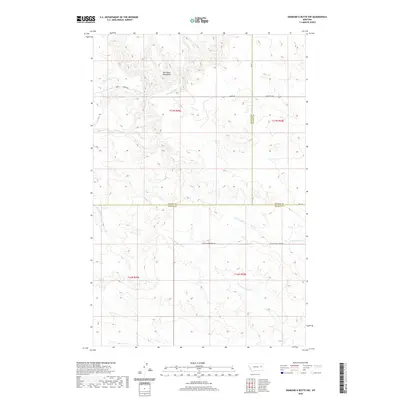
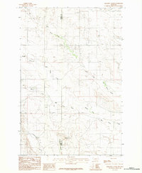
2020 Map of Diamond G Butte NW
USGS Topo · Published 2020About this map
Big Sheep Mountains dominate the northern landscape of this region where McCone, Dawson, and Prairie Counties converge. This remote portion of eastern Montana is defined by a complex drainage system, where the headwaters of Dry Ash Cr, Clear Cr, and Deep Bottom carve through the high plains. The map reveals the intricate natural topography of the Big Sheep range, showing a landscape shaped by water and elevation rather than dense human settlement.
Find a feature on this map
21 named features on this map. Tap any name to fly to it.
Don’t see what you’re looking for? This feature index may not catch every label — zoom into the map to look around manually.
Map Details
Editions of this 2020 Diamond G Butte NW Map
This is the sole edition of this map. No revisions or reprints were ever made.
Other maps of this area

1954 · Glendive
USGS Topo · 1:250,000

1957 · Glendive
USGS Topo · 1:250,000

1958 · Glendive
USGS Topo · 1:250,000

1982 · Circle
USGS Topo · 1:100,000
1983 · Becker Dam
USGS Topo · 1:24,000
1983 · Union School
USGS Topo · 1:24,000
1983 · North Coulee
USGS Topo · 1:24,000

1983 · Olson Coulee South
USGS Topo · 1:24,000

1983 · Mount Antelope
USGS Topo · 1:24,000
1983 · Diamond G Butte
USGS Topo · 1:24,000