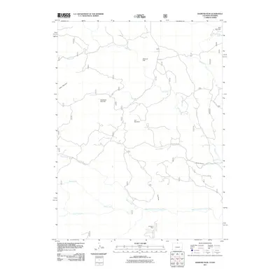
2011 Map of Diamond Peak
USGS Topo · Published 2011About this map
Diamond Peak and the surrounding high country of Larimer County dominate this 2011 survey, revealing a landscape defined by dramatic elevation and complex drainage systems. The North Fork Cache La Poudre River flows across the southern portion of the map, fed by a network of seasonal and perennial streams including Sheep Creek, George Creek, and Cornelius Creek. The terrain is punctuated by significant summits such as Bald Mountain, Iron Mountain, and Deadhorse Mountain, which separate the various creek basins.
Find a feature on this map
21 named features on this map. Tap any name to fly to it.
Don’t see what you’re looking for? This feature index may not catch every label — zoom into the map to look around manually.
Map Details
Editions of this 2011 Diamond Peak Map
This is the sole edition of this map. No revisions or reprints were ever made.
Other maps of this area

1895 · Laramie
USGS Topo · 1:125,000

1902 · Laramie
USGS Topo · 1:125,000

1905 · Sherman
USGS Topo · 1:125,000

1905 · Laramie
USGS Topo · 1:125,000

1906 · Laramie
USGS Topo · 1:125,000

1907 · Livermore
USGS Topo · 1:125,000

1908 · Laramie
USGS Topo · 1:125,000

1909 · Livermore
USGS Topo · 1:125,000

1916 · Home
USGS Topo · 1:125,000

1920 · Home
USGS Topo · 1:125,000