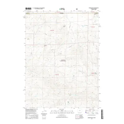
2016 Map of Diamond Peak
USGS Topo · Published 2016About this map
Roosevelt National Forest defines this high-altitude landscape along the border of Colorado and Wyoming, where the terrain is marked by a series of prominent summits including Diamond Peak, Deadhorse Mtn, and Bald Mtn. The hydrology of the area is centered on the drainage of the N Fork Cache La Poudre River and its numerous tributaries such as Devils Cr and Pratt Creek. This 2016 survey illustrates the rugged drainage patterns that have shaped the region, from the steep-walled Devils Canyon and Devils Gulch to the broader expanse of Chicken Park. Transportation in this mountainous stretch is sparse, limited to corridors like Coffee Spring Rd and the Kelsey Lake Spur, which provide access to remote water sources like Kelsey Lake and Still Creek Spring.
Find a feature on this map
31 named features on this map. Tap any name to fly to it.
Don’t see what you’re looking for? This feature index may not catch every label — zoom into the map to look around manually.
Map Details
Editions of this 2016 Diamond Peak Map
This is the sole edition of this map. No revisions or reprints were ever made.
Other maps of this area

1895 · Laramie
USGS Topo · 1:125,000

1902 · Laramie
USGS Topo · 1:125,000

1905 · Sherman
USGS Topo · 1:125,000

1905 · Laramie
USGS Topo · 1:125,000

1906 · Laramie
USGS Topo · 1:125,000

1907 · Livermore
USGS Topo · 1:125,000

1908 · Laramie
USGS Topo · 1:125,000

1909 · Livermore
USGS Topo · 1:125,000

1916 · Home
USGS Topo · 1:125,000

1920 · Home
USGS Topo · 1:125,000