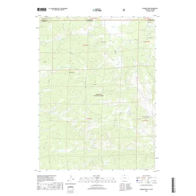
2019 Map of Diamond Peak
USGS Topo · Published 2019About this map
Diamond Peak stands as a central landmark in this high-elevation landscape straddling the Wyoming-Colorado border. The terrain is characterized by a complex network of ridges and drainages, including Deadhorse Mtn and Iron Mtn, which define the northern reaches of the Roosevelt National Forest. Water is a defining element of this high country, from the headwaters of the N Fork Cache La Poudre River in the south to the localized waters of Kelsey Lake and Mill Creek Spring further north.
Find a feature on this map
29 named features on this map. Tap any name to fly to it.
Don’t see what you’re looking for? This feature index may not catch every label — zoom into the map to look around manually.
Map Details
Editions of this 2019 Diamond Peak Map
This is the sole edition of this map. No revisions or reprints were ever made.
Other maps of this area

1895 · Laramie
USGS Topo · 1:125,000

1902 · Laramie
USGS Topo · 1:125,000

1905 · Sherman
USGS Topo · 1:125,000

1905 · Laramie
USGS Topo · 1:125,000

1906 · Laramie
USGS Topo · 1:125,000

1907 · Livermore
USGS Topo · 1:125,000

1908 · Laramie
USGS Topo · 1:125,000

1909 · Livermore
USGS Topo · 1:125,000

1916 · Home
USGS Topo · 1:125,000

1920 · Home
USGS Topo · 1:125,000