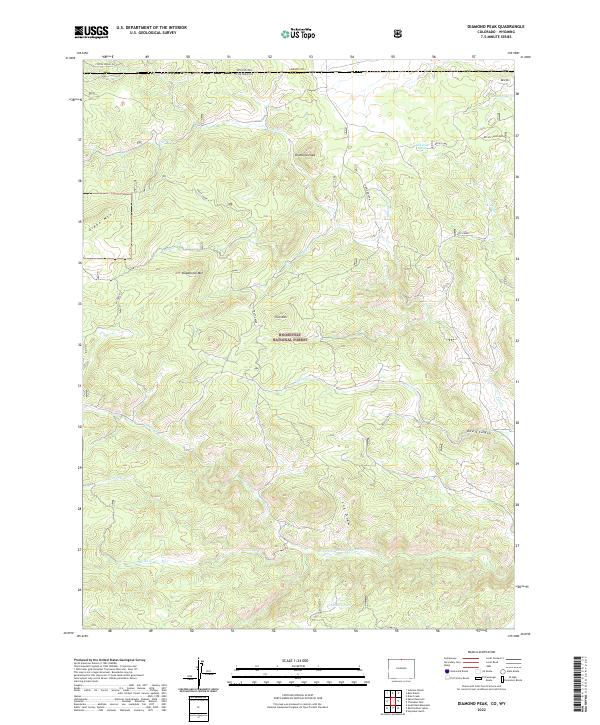
2022 Map of Diamond Peak
USGS Topo · Published 2022About this map
Roosevelt National Forest dominates this mountain landscape along the border of Wyoming and Colorado, where the High Plains meet the Front Range. The terrain is defined by a series of prominent summits including Diamond Peak, Iron Mtn, and Deadhorse Mtn, which overlook a complex drainage system feeding into the N Fork Cache La Poudre River. This 2022 survey captures the area's remote character, where the only significant thoroughfare is Coffee Spring Rd in the north.
Find a feature on this map
29 named features on this map. Tap any name to fly to it.
Don’t see what you’re looking for? This feature index may not catch every label — zoom into the map to look around manually.
Map Details
Editions of this 2022 Diamond Peak Map
This is the sole edition of this map. No revisions or reprints were ever made.
Other maps of this area

1895 · Laramie
USGS Topo · 1:125,000

1902 · Laramie
USGS Topo · 1:125,000

1905 · Sherman
USGS Topo · 1:125,000

1905 · Laramie
USGS Topo · 1:125,000

1906 · Laramie
USGS Topo · 1:125,000

1907 · Livermore
USGS Topo · 1:125,000

1908 · Laramie
USGS Topo · 1:125,000

1909 · Livermore
USGS Topo · 1:125,000

1916 · Home
USGS Topo · 1:125,000

1920 · Home
USGS Topo · 1:125,000