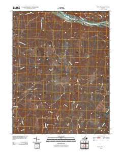
2010 Map of Diana Mills
USGS Topo · Published 2010About this map
The James River and its confluence with the Hardware River define the northern boundary of this central Virginia landscape. The area is characterized by a series of river islands, including Seven Islands and Big Island, where Rockfish Creek enters from the north. Settlement patterns follow the winding paths of the Slate River and smaller tributaries like Sharps Creek and Hunts Creek. Small communities such as Diana Mills and Sunny Side serve as local landmarks alongside family-related sites like Hale Cemetery. The presence of Paynes Mill and Martin Dam along these waterways points to a long history of water-powered industry and rural infrastructure. Local roads like Boxley Ln connect these dispersed hamlets, reflecting the enduring rural character of the Buckingham County countryside.
Find a feature on this map
28 named features on this map. Tap any name to fly to it.
Don’t see what you’re looking for? This feature index may not catch every label — zoom into the map to look around manually.
Map Details
Editions of this 2010 Diana Mills Map
This is the sole edition of this map. No revisions or reprints were ever made.
Other maps of this area

1891 · Palmyra
USGS Topo · 1:125,000

1892 · Buckingham
USGS Topo · 1:125,000

1895 · Palmyra
USGS Topo · 1:125,000

1897 · Palmyra
USGS Topo · 1:125,000

1929 · Covesville
USGS Topo · 1:62,500

1935 · Covesville
USGS Topo · 1:62,500

1943 · Scottsville
USGS Topo · 1:62,500

1945 · Covesville
USGS Topo · 1:62,500

1946 · Scottsville
USGS Topo · 1:62,500

1947 · Roanoke
USGS Topo · 1:250,000