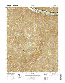
2016 Map of Diana Mills
USGS Topo · Published 2016About this map
The James River forms the northern boundary of this central Virginia landscape, where it is dotted by Seven Islands, Big Island, and Gregory Island. The topography south of the river is defined by the winding course of the Slate River and its numerous tributaries, including Sharps Cr and Crooked Cr. This area, split by the Fluvanna and Buckingham County line, retains a largely rural character centered on several small communities and historic mill sites.
Find a feature on this map
57 named features on this map. Tap any name to fly to it.
Don’t see what you’re looking for? This feature index may not catch every label — zoom into the map to look around manually.
Map Details
Editions of this 2016 Diana Mills Map
This is the sole edition of this map. No revisions or reprints were ever made.
Other maps of this area

1891 · Palmyra
USGS Topo · 1:125,000

1892 · Buckingham
USGS Topo · 1:125,000

1895 · Palmyra
USGS Topo · 1:125,000

1897 · Palmyra
USGS Topo · 1:125,000

1929 · Covesville
USGS Topo · 1:62,500

1935 · Covesville
USGS Topo · 1:62,500

1943 · Scottsville
USGS Topo · 1:62,500

1945 · Covesville
USGS Topo · 1:62,500

1946 · Scottsville
USGS Topo · 1:62,500

1947 · Roanoke
USGS Topo · 1:250,000