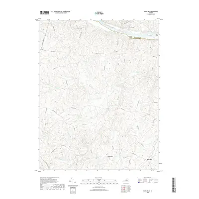
2019 Map of Diana Mills
USGS Topo · Published 2019About this map
James River and Slate River anchor this central Virginia landscape, where the border between Fluvanna and Buckingham counties follows the winding course of the James. The area is defined by a dense network of waterways including Little Georgia Creek and Muddy Creek, which drain the undulating terrain. Small historic settlements such as Diana Mills and Paynes Mill point to the region's agricultural and milling roots, while names like Slate Hill reflect the local geology. This 2019 data illustrates the persistence of rural community centers like Sunny Side and Taggart. Notable landmarks for local researchers include the Hale Cemetery and the distinctive river features of the Seven Islands and Gregory Island reach, providing a detailed view of the modern county line as it maintains its historic orientation toward the river's path.
Find a feature on this map
58 named features on this map. Tap any name to fly to it.
Don’t see what you’re looking for? This feature index may not catch every label — zoom into the map to look around manually.
Map Details
Editions of this 2019 Diana Mills Map
This is the sole edition of this map. No revisions or reprints were ever made.
Other maps of this area

1891 · Palmyra
USGS Topo · 1:125,000

1892 · Buckingham
USGS Topo · 1:125,000

1895 · Palmyra
USGS Topo · 1:125,000

1897 · Palmyra
USGS Topo · 1:125,000

1929 · Covesville
USGS Topo · 1:62,500

1935 · Covesville
USGS Topo · 1:62,500

1943 · Scottsville
USGS Topo · 1:62,500

1945 · Covesville
USGS Topo · 1:62,500

1946 · Scottsville
USGS Topo · 1:62,500

1947 · Roanoke
USGS Topo · 1:250,000