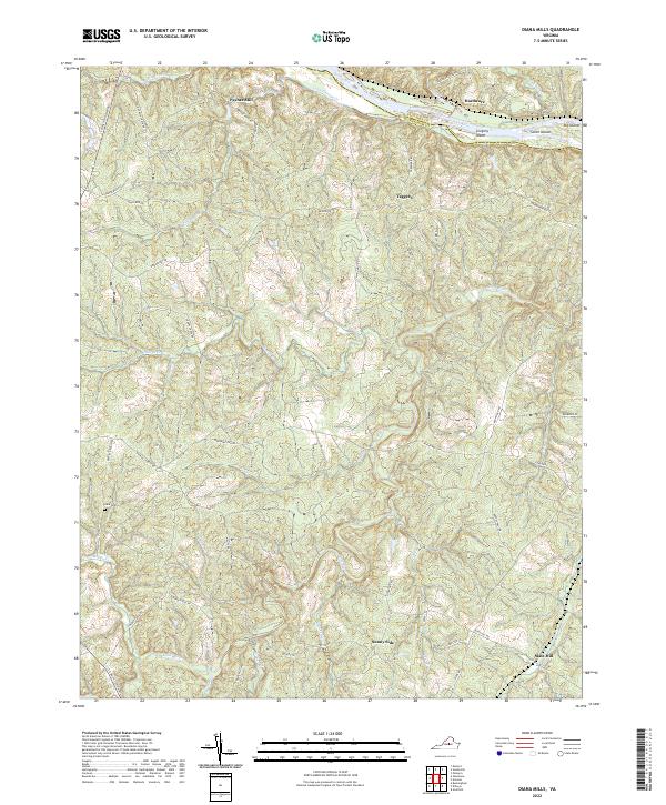
2022 Map of Diana Mills
USGS Topo · Published 2022About this map
The James River forms a significant geographical boundary in this part of Central Virginia, where it is joined by the Hardware River and Rockfish Cr. This landscape is defined by its numerous watercourses and the islands that dot the river channel, including Gregory Island, Seven Islands, and Big Island. Small crossroads settlements and geographic points such as Paynes Mill and Hardware suggest a history of local milling and river-based transport.
Find a feature on this map
56 named features on this map. Tap any name to fly to it.
Don’t see what you’re looking for? This feature index may not catch every label — zoom into the map to look around manually.
Map Details
Editions of this 2022 Diana Mills Map
This is the sole edition of this map. No revisions or reprints were ever made.
Other maps of this area

1891 · Palmyra
USGS Topo · 1:125,000

1892 · Buckingham
USGS Topo · 1:125,000

1895 · Palmyra
USGS Topo · 1:125,000

1897 · Palmyra
USGS Topo · 1:125,000

1929 · Covesville
USGS Topo · 1:62,500

1935 · Covesville
USGS Topo · 1:62,500

1943 · Scottsville
USGS Topo · 1:62,500

1945 · Covesville
USGS Topo · 1:62,500

1946 · Scottsville
USGS Topo · 1:62,500

1947 · Roanoke
USGS Topo · 1:250,000