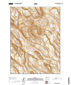
2020 Map of Diatomite Reservoir
USGS Topo · Published 2020About this map
Saunders Rim dominates the northern landscape of this Lake County terrain, where the high-desert topography of south-central Oregon is defined by subtle elevation shifts and essential water sources. In an arid region where geography often dictates survival and land use, features like Sammys Horse Pen Waterhole and Camp Tank Waterhole serve as critical landmarks for ranchers and land managers. The southern portion of the quadrangle is marked by the distinct formation of Twin Buttes, providing a clear visual anchor in an area otherwise characterized by vast open stretches. This 2020 data captures the contemporary survey boundaries of Townships 30 and 31 South, reflecting the enduring grid system that manages this sparse but significant landscape.
Find a feature on this map
8 named features on this map. Tap any name to fly to it.
Don’t see what you’re looking for? This feature index may not catch every label — zoom into the map to look around manually.
Map Details
Editions of this 2020 Diatomite Reservoir Map
This is the sole edition of this map. No revisions or reprints were ever made.
Other maps of this area

1955 · Crescent
USGS Topo · 1:250,000

1955 · Klamath Falls
USGS Topo · 1:250,000

1957 · Crescent
USGS Topo · 1:250,000

1958 · Crescent
USGS Topo · 1:250,000

1958 · Klamath Falls
USGS Topo · 1:250,000

1970 · Crescent
USGS Topo · 1:250,000

1974 · Lake Abert
USGS Topo · 1:100,000
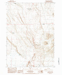
1984 · Sawed Horn
USGS Topo · 1:24,000
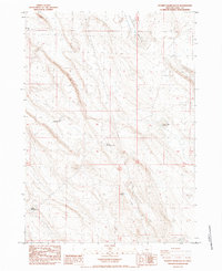
1984 · Poverty Basin South
USGS Topo · 1:24,000
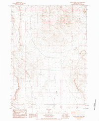
1984 · Poverty Basin North
USGS Topo · 1:24,000