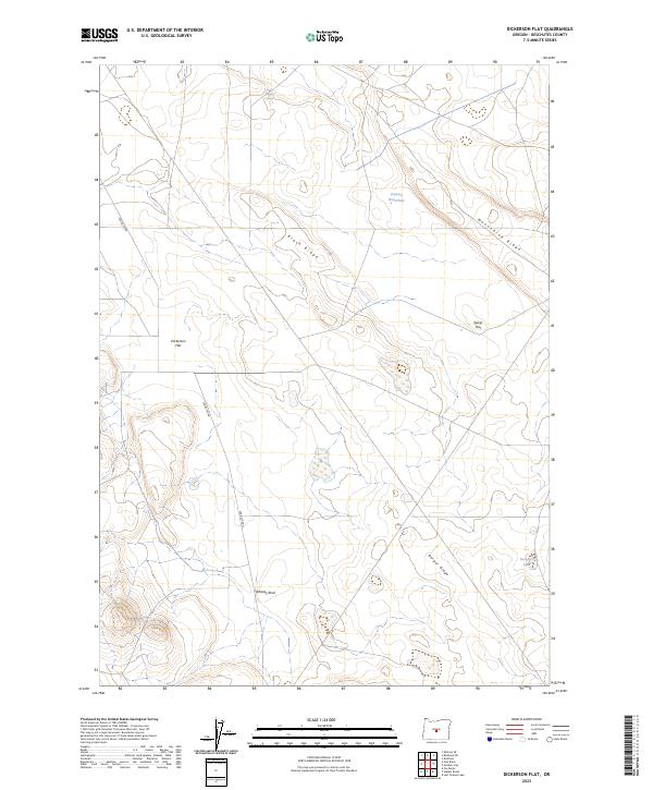
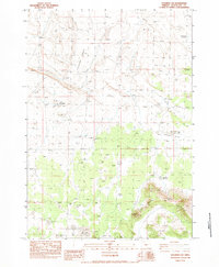
2023 Map of Dickerson Flat
USGS Topo · Published 2023About this map
Dickerson Flat and the surrounding high desert of Deschutes County are characterized by a series of distinct volcanic ridges and isolated water sources. This 2023 survey by the U.S. Geological Survey captures the specialized landscape of central Oregon, where terrain features like Black Ridge, Moonshine Ridge, and Berger Ridge dictate the movement of both wildlife and the limited local road network. The presence of Whiskey Spring, Pumice Waterhole, and Two Post Lake suggests the vital role of these small, specific points of hydration in an otherwise arid environment.
Find a feature on this map
14 named features on this map. Tap any name to fly to it.
Don’t see what you’re looking for? This feature index may not catch every label — zoom into the map to look around manually.
Map Details
Editions of this 2023 Dickerson Flat Map
This is the sole edition of this map. No revisions or reprints were ever made.
Other maps of this area

1955 · Crescent
USGS Topo · 1:250,000

1957 · Crescent
USGS Topo · 1:250,000

1958 · Crescent
USGS Topo · 1:250,000

1966 · Millican SE
USGS Topo · 1:24,000
1967 · Brothers SW
USGS Topo · 1:24,000
1967 · Brothers
USGS Topo · 1:24,000

1970 · Crescent
USGS Topo · 1:250,000

1981 · Fox Butte
USGS Topo · 1:24,000
1981 · Plot Butte
USGS Topo · 1:24,000
1983 · Soldiers Cap
USGS Topo · 1:24,000