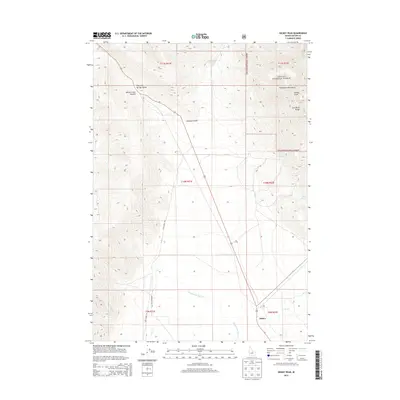
2013 Map of Dickey Peak
USGS Topo · Published 2013About this map
The settlement of Dickey serves as a lone point of habitation in this high-altitude landscape of central Idaho. The terrain is dominated by the dramatic ascent of the Lost River Range and the Pahsimeroi Mountains, with the prominent Dickey Peak anchoring the northeastern corner of the sheet. Most of the eastern half of the map falls within the protected boundaries of the Challis National Forest, where the land rises sharply from the basin.
Find a feature on this map
22 named features on this map. Tap any name to fly to it.
Don’t see what you’re looking for? This feature index may not catch every label — zoom into the map to look around manually.
Map Details
Editions of this 2013 Dickey Peak Map
This is the sole edition of this map. No revisions or reprints were ever made.
Other maps of this area

1929 · Bayhorse
USGS Topo · 1:125,000

1935 · Borah Peak
USGS Topo · 1:125,000

1938 · Borah Peak
USGS Topo · 1:125,000

1955 · Dubois
USGS Topo · 1:250,000

1956 · Doublespring
USGS Topo · 1:62,500

1957 · Challis
USGS Topo · 1:250,000

1958 · Dubois
USGS Topo · 1:250,000

1960 · Challis
USGS Topo · 1:250,000

1963 · Challis
USGS Topo · 1:250,000

1963 · Lone Pine Peak
USGS Topo · 1:62,500