
2013 Map of Dickson
USGS Topo · Published 2013About this map
West Dickson and East Dickson anchor this landscape during a period of modern expansion, while the surrounding hills preserve names of early family settlements and natural landmarks. The terrain is defined by the winding course of the West Piney River and numerous hollows such as Wildcat Hollow and Opossum Hollow, illustrating the drainage patterns that shaped local development. Notable topography includes England Bluff, which rises above the river valley near the community of Eno.
Find a feature on this map
228 named features on this map. Tap any name to fly to it.
Don’t see what you’re looking for? This feature index may not catch every label — zoom into the map to look around manually.
Map Details
Editions of this 2013 Dickson Map
This is the sole edition of this map. No revisions or reprints were ever made.
Other maps of this area

1901 · Colombia
USGS Topo · 1:125,000

1936 · Ruskin
USGS Topo · 1:24,000

1936 · Texas Hollow
USGS Topo · 1:24,000

1936 · Spot
USGS Topo · 1:24,000

1936 · Burns
USGS Topo · 1:24,000

1936 · Lyles
USGS Topo · 1:24,000

1936 · Tennessee City
USGS Topo · 1:24,000

1936 · Dickson
USGS Topo · 1:24,000
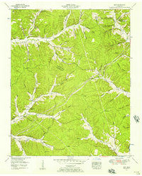
1952 · Spot
USGS Topo · 1:24,000
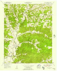
1952 · Texas Hollow
USGS Topo · 1:24,000