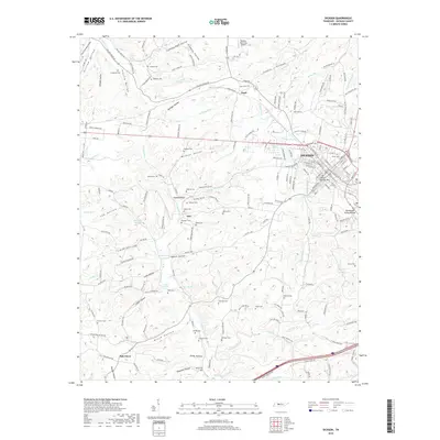
2019 Map of Dickson
USGS Topo · Published 2019About this map
The Nashville & Eastern RR cuts through the heart of Dickson, a significant rail and transportation hub situated along the Tennessee Valley-Divide. This 2019 survey documents a landscape where modern infrastructure like the Dickson Municipal Airport coexists with deeply rooted rural settlements such as Eno, Pond, and Oak Grove. The terrain is defined by a dense network of hollows, including Wildcat Hollow and Plum Orchard Hollow, which channel various branches of the W Piney River and E Piney River. For family historians, the map is remarkably dense with burial grounds, capturing the locations of the Union Cem, Adams Cem, and Donegan Cem among many others. The distribution of these family-named landmarks and cemeteries suggests a long-standing pattern of multi-generational land ownership across the hills and springs of Dickson County.
Find a feature on this map
200 named features on this map. Tap any name to fly to it.
Don’t see what you’re looking for? This feature index may not catch every label — zoom into the map to look around manually.
Map Details
Editions of this 2019 Dickson Map
This is the sole edition of this map. No revisions or reprints were ever made.
Other maps of this area

1901 · Colombia
USGS Topo · 1:125,000

1936 · Ruskin
USGS Topo · 1:24,000

1936 · Texas Hollow
USGS Topo · 1:24,000

1936 · Spot
USGS Topo · 1:24,000

1936 · Burns
USGS Topo · 1:24,000

1936 · Lyles
USGS Topo · 1:24,000

1936 · Tennessee City
USGS Topo · 1:24,000

1936 · Dickson
USGS Topo · 1:24,000
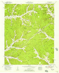
1952 · Spot
USGS Topo · 1:24,000
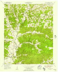
1952 · Texas Hollow
USGS Topo · 1:24,000