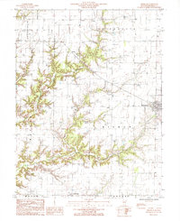
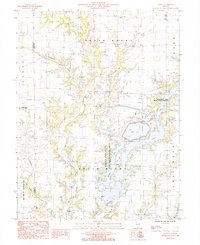
1985 Map of Dieterich
USGS Topo · Published 1985About this map
Dieterich serves as the primary hub in this mid-1980s look at the Effingham County landscape, where the town's grid meets the branching drainages of Dieterich Creek and Bishop Creek. The survey reveals a rural structure defined by several distinct townships including Bishop, St Francis, and Lucas. While the village of Dieterich shows established development, the surrounding countryside remains marked by small, named locations such as Evers to the north and Elliottstown on the southern boundary.
Find a feature on this map
21 named features on this map. Tap any name to fly to it.
Don’t see what you’re looking for? This feature index may not catch every label — zoom into the map to look around manually.
Map Details
Editions of this 1985 Dieterich Map
This is the sole edition of this map. No revisions or reprints were ever made.
Other maps of this area
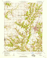
1950 · Effingham
USGS Topo · 1:62,500
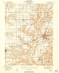
1951 · Effingham
USGS Topo · 1:62,500
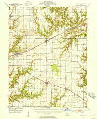
1953 · Teutopolis
USGS Topo · 1:62,500
1953 · Sailor Springs
USGS Topo · 1:62,500
1956 · Edgewood
USGS Topo · 1:62,500

1958 · Decatur
USGS Topo · 1:250,000
1958 · Belleville
USGS Topo · 1:250,000

1961 · Decatur
USGS Topo · 1:250,000
1962 · Belleville
USGS Topo · 1:250,000
1985 · Latona
USGS Topo · 1:24,000