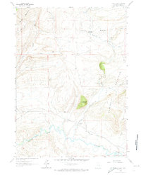
1961 Map of Difficulty
USGS Topo · Published 1974About this map
The Medicine Bow River meanders through the southern portion of this landscape, marking a transition between the elevated ranges of the Freezeout Mountains and the lower Little Basin to the north. In the early 1960s, this area of Carbon County was characterized by isolated ranching outposts such as Beer Mug Ranch, Schnaible Ranch, and Ellis Ranch. The terrain is deeply etched by seasonal watercourses like Difficulty Creek and Watkins Draw, while named landmarks such as Beer Mug Mountain and Difficulty Canyon define the high-relief topography. The presence of tiny settlements like Paradise and Walsh near the foot of the Shirley Mountains illustrates the sparse, ranch-dependent population of the era. Genealogists and local historians can trace the early path of the Medicine Bow Road as it skirts the river valley, connecting these remote homesteads across the high plains.
Find a feature on this map
29 named features on this map. Tap any name to fly to it.
Don’t see what you’re looking for? This feature index may not catch every label — zoom into the map to look around manually.
Map Details
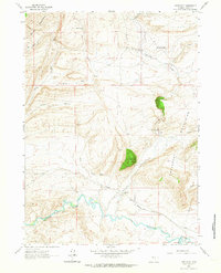
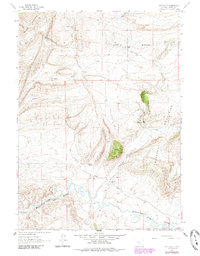
Editions of this 1961 Difficulty Map
3 editions found
Other maps of this area

1893 · Fort Steele
USGS Topo · 1:125,000

1914 · Hanna
USGS Topo · 1:62,500

1914 · Saddleback Hills
USGS Topo · 1:62,500

1921 · Saddleback Hills
USGS Topo · 1:62,500

1953 · The Q Ranch
USGS Topo · 1:24,000

1953 · T E Ranch
USGS Topo · 1:24,000

1954 · Rawlins
USGS Topo · 1:250,000

1955 · Casper
USGS Topo · 1:250,000

1958 · Rawlins
USGS Topo · 1:250,000

1958 · Casper
USGS Topo · 1:250,000