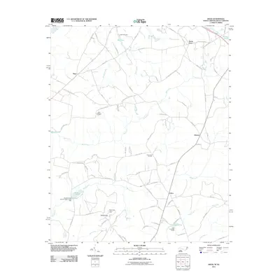
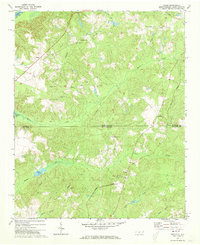
2011 Map of Diggs
USGS Topo · Published 2011About this map
Ballast Ridge rises above the rural borderlands of South Carolina and North Carolina, where a network of family-named roads and small settlements like Diggs, Ellerbe Grove, and Osborne define the landscape. The Pee Dee River clips the northwestern corner, while the interior is drained by numerous winding waterways including Marks Creek and Whites Creek. Evidence of local stewardship and infrastructure is visible in landmarks such as the Ballast Ridge Lookout Tower and multiple water-control structures, including the Wall Pond Dam and Haire Pond Dam D-3431.
Find a feature on this map
82 named features on this map. Tap any name to fly to it.
Don’t see what you’re looking for? This feature index may not catch every label — zoom into the map to look around manually.
Map Details
Editions of this 2011 Diggs Map
This is the sole edition of this map. No revisions or reprints were ever made.
Other maps of this area

1942 · Rockingham
USGS Topo · 1:125,000

1949 · Ghio
USGS Topo · 1:24,000

1949 · Hamlet
USGS Topo · 1:24,000

1949 · Hamlet
USGS Topo · 1:62,500

1953 · Florence
USGS Topo · 1:250,000

1954 · Florence
USGS Topo · 1:250,000
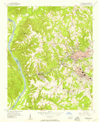
1956 · Rockingham
USGS Topo · 1:24,000
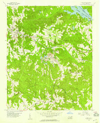
1956 · Lilesville
USGS Topo · 1:24,000
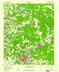
1957 · Hamlet
USGS Topo · 1:24,000
1971 · Diggs
USGS Topo · 1:24,000