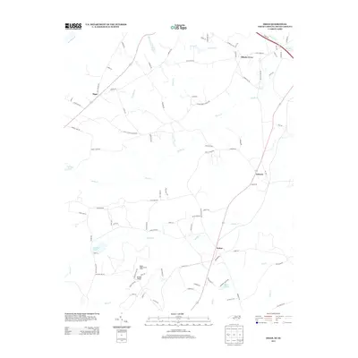
2013 Map of Diggs
USGS Topo · Published 2013About this map
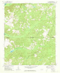
Ballast Ridge and its prominent Ballast Ridge Lookout Tower anchor the southern reaches of this landscape, overlooking a network of creeks and rural homesteads. The terrain is defined by the winding paths of Whites Cr, Marks Cr, and Speeds Cr, which drain into the Pee Dee River at the western margin. Small settlements like Fulton, Osborne, and Ellerbe Grove are connected by a web of local routes including Saint Stevens Church Rd and Ellerbe Grove Church Rd, reflecting the deep-rooted community structure of the area.
Find a feature on this map
90 named features on this map. Tap any name to fly to it.
Don’t see what you’re looking for? This feature index may not catch every label — zoom into the map to look around manually.
Map Details
Editions of this 2013 Diggs Map
This is the sole edition of this map. No revisions or reprints were ever made.
Other maps of this area

1942 · Rockingham
USGS Topo · 1:125,000

1949 · Ghio
USGS Topo · 1:24,000

1949 · Hamlet
USGS Topo · 1:24,000

1949 · Hamlet
USGS Topo · 1:62,500

1953 · Florence
USGS Topo · 1:250,000

1954 · Florence
USGS Topo · 1:250,000
1956 · Rockingham
USGS Topo · 1:24,000
1956 · Lilesville
USGS Topo · 1:24,000
1957 · Hamlet
USGS Topo · 1:24,000
1971 · Diggs
USGS Topo · 1:24,000