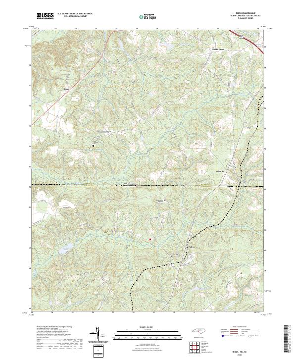
2022 Map of Diggs
USGS Topo · Published 2022About this map
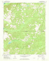
The borderlands of Richmond County, North Carolina, and Marlboro County, South Carolina, are defined here by a series of low ridges and winding creek beds. This modern topographic view captures the rural character of the region, where the Seaboard railroad corridor runs north-to-south, connecting the small community of Osborne with the broader rail network. Further west, the settlement of Diggs sits near the intersection of the Old Cheraw Hwy and Horseshoe Rd.
Find a feature on this map
75 named features on this map. Tap any name to fly to it.
Don’t see what you’re looking for? This feature index may not catch every label — zoom into the map to look around manually.
Map Details
Editions of this 2022 Diggs Map
This is the sole edition of this map. No revisions or reprints were ever made.
Other maps of this area

1942 · Rockingham
USGS Topo · 1:125,000

1949 · Ghio
USGS Topo · 1:24,000

1949 · Hamlet
USGS Topo · 1:24,000

1949 · Hamlet
USGS Topo · 1:62,500

1953 · Florence
USGS Topo · 1:250,000

1954 · Florence
USGS Topo · 1:250,000
1956 · Rockingham
USGS Topo · 1:24,000
1956 · Lilesville
USGS Topo · 1:24,000
1957 · Hamlet
USGS Topo · 1:24,000
1971 · Diggs
USGS Topo · 1:24,000