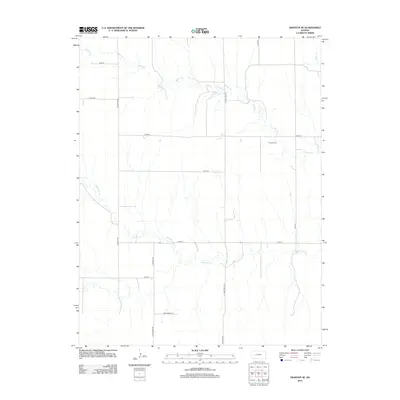
2012 Map of Dighton SE
USGS Topo · Published 2012About this map
Thomas Cem sits as a quiet landmark within this high plains landscape of Finney County, positioned near the drainage of Spring Cr. This section of Kansas is defined by a strictly organized grid of rural corridors, where routes like Lane-Finney Rd and Ogallalah manage the transit across vast agricultural plots and grazing lands. The topography is subtly carved by the meandering paths of Hackberry Cr and its tributaries, which disrupt the rectilinear road system with their natural, winding courses. Local history is etched into the landscape through family and regional road names such as N Tom Reed Rd and S Turkey Red Rd, reflecting the settlement patterns and agricultural heritage of the region. The map captures the intersection of natural hydrology and the persistent human geometry of the American West.
Find a feature on this map
18 named features on this map. Tap any name to fly to it.
Don’t see what you’re looking for? This feature index may not catch every label — zoom into the map to look around manually.
Map Details
Editions of this 2012 Dighton SE Map
This is the sole edition of this map. No revisions or reprints were ever made.
Other maps of this area

1955 · Scott City
USGS Topo · 1:250,000

1958 · Scott City
USGS Topo · 1:250,000

1965 · Beeler
USGS Topo · 1:24,000

1974 · Ravanna
USGS Topo · 1:24,000

1974 · Dighton SW
USGS Topo · 1:24,000

1974 · Dighton
USGS Topo · 1:24,000

1974 · Alamota
USGS Topo · 1:24,000

1974 · Hay Canyon
USGS Topo · 1:24,000

1974 · Beeler SW
USGS Topo · 1:24,000

1974 · Dighton SE
USGS Topo · 1:24,000