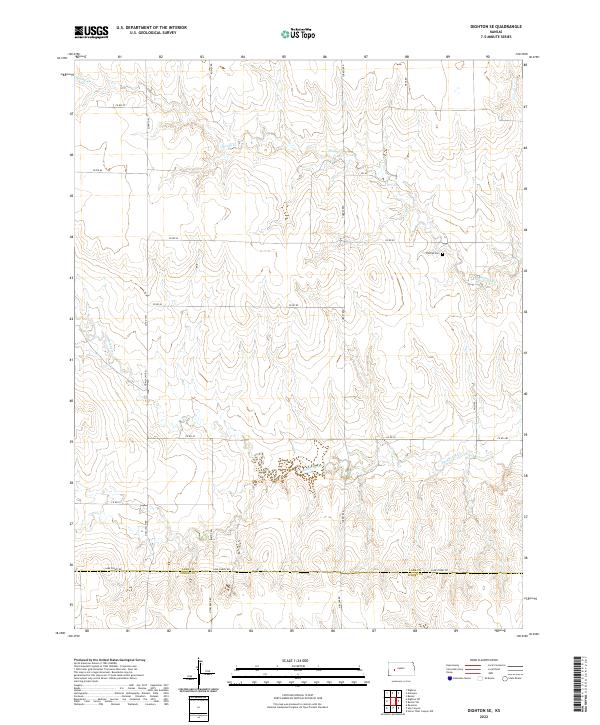
2022 Map of Dighton SE
USGS Topo · Published 2022About this map
The Thomas Cem sits on a slight rise in the high plains of western Kansas, serving as a solitary genealogical anchor in an landscape defined by its section-line roads and seasonal drainage patterns. This portion of the state is characterized by the divide between the Spring Creek and Hackberry Creek watersheds, where the topography is shaped by gradual elevation changes rather than sharp relief. The southern edge of the survey is marked by the Lane County and Finney County boundary line, which follows the path of Lane-Finney Rd.
Find a feature on this map
23 named features on this map. Tap any name to fly to it.
Don’t see what you’re looking for? This feature index may not catch every label — zoom into the map to look around manually.
Map Details
Editions of this 2022 Dighton SE Map
This is the sole edition of this map. No revisions or reprints were ever made.
Other maps of this area

1955 · Scott City
USGS Topo · 1:250,000

1958 · Scott City
USGS Topo · 1:250,000

1965 · Beeler
USGS Topo · 1:24,000

1974 · Ravanna
USGS Topo · 1:24,000

1974 · Dighton SW
USGS Topo · 1:24,000

1974 · Dighton
USGS Topo · 1:24,000

1974 · Alamota
USGS Topo · 1:24,000

1974 · Hay Canyon
USGS Topo · 1:24,000

1974 · Beeler SW
USGS Topo · 1:24,000

1974 · Dighton SE
USGS Topo · 1:24,000