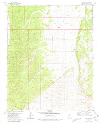
1980 Map of Dike Tank
USGS Topo · Published 1981About this map
The Hualapai Indian Reservation defines this high-desert plateau landscape, where the seasonal waters of Albers Wash and a network of livestock tanks support life in an otherwise arid environment. This 1980 survey reveals a land managed for ranching and resource conservation, marked by remote water sources like Rose Tank, Dike Tank, and the southwestern Hog Ranch Tank. The mapping of small Ruins and scattered Fence lines provides a tangible record of human activity and property management across the Hualapai Indian Reservation Boundary. The terrain is characterized by intricate contouring that suggests the drainage patterns of the high plateau before the runoff reaches larger canyon systems.
Find a feature on this map
12 named features on this map. Tap any name to fly to it.
Don’t see what you’re looking for? This feature index may not catch every label — zoom into the map to look around manually.
Map Details
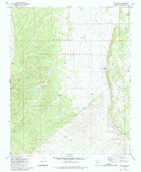
Editions of this 1980 Dike Tank Map
2 editions found
Other maps of this area

1886 · Diamond Creek
USGS Topo · 1:250,000

1886 · Chino
USGS Topo · 1:250,000

1891 · Chino
USGS Topo · 1:250,000

1892 · Diamond Creek
USGS Topo · 1:250,000

1948 · Williams
USGS Topo · 1:250,000

1954 · Williams
USGS Topo · 1:250,000

1956 · Williams
USGS Topo · 1:250,000

1960 · Williams
USGS Topo · 1:250,000

1961 · Williams
USGS Topo · 1:250,000
1967 · Frazier Wells
USGS Topo · 1:24,000