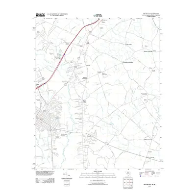
2011 Map of Dillon East
USGS Topo · Published 2011About this map
South of the Border sits prominently at the northern edge of this map, a cultural and commercial landmark near the state line. Southward, the landscape transitions into a network of agriculture and rural crossroads, including Carmichael Crossroads and Bronson Crossroads. The Little Pee Dee River meanders through the western half, flanked by wetlands like Hayes Swamp and Maple Swamp. Historical settlement patterns are evident in the numerous family and church burial grounds, such as Kentyre Presbyterian Church Cemetery and the McCayhan Cemetery.
Find a feature on this map
155 named features on this map. Tap any name to fly to it.
Don’t see what you’re looking for? This feature index may not catch every label — zoom into the map to look around manually.
Map Details
Editions of this 2011 Dillon East Map
This is the sole edition of this map. No revisions or reprints were ever made.
Other maps of this area

1943 · Pages Mill
USGS Topo · 1:62,500

1953 · Florence
USGS Topo · 1:250,000

1954 · Florence
USGS Topo · 1:250,000

1959 · Fork
USGS Topo · 1:24,000

1960 · Latta
USGS Topo · 1:24,000

1960 · Dillon East
USGS Topo · 1:24,000

1960 · Dillon West
USGS Topo · 1:24,000

1962 · Lake View
USGS Topo · 1:24,000

1962 · Gaddysville
USGS Topo · 1:24,000

1962 · Fair Bluff
USGS Topo · 1:62,500