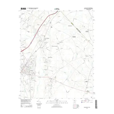
2014 Map of Dillon East
USGS Topo · Published 2014About this map
Dillon and its surrounding agricultural communities sit at a critical crossroads near the North Carolina and South Carolina border. This survey documents the transition from the concentrated grid of the city, including Newtown and Riverdale, to the dispersed rural hamlets that define the county's landscape. The settlement pattern is anchored by historic religious and family sites, such as Kentyre Presbyterian Church Cem and Stewart Crossroads.
Find a feature on this map
203 named features on this map. Tap any name to fly to it.
Don’t see what you’re looking for? This feature index may not catch every label — zoom into the map to look around manually.
Map Details
Editions of this 2014 Dillon East Map
This is the sole edition of this map. No revisions or reprints were ever made.
Other maps of this area

1943 · Pages Mill
USGS Topo · 1:62,500

1953 · Florence
USGS Topo · 1:250,000

1954 · Florence
USGS Topo · 1:250,000

1959 · Fork
USGS Topo · 1:24,000

1960 · Latta
USGS Topo · 1:24,000

1960 · Dillon East
USGS Topo · 1:24,000

1960 · Dillon West
USGS Topo · 1:24,000

1962 · Lake View
USGS Topo · 1:24,000

1962 · Gaddysville
USGS Topo · 1:24,000

1962 · Fair Bluff
USGS Topo · 1:62,500