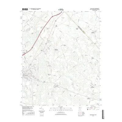
2017 Map of Dillon East
USGS Topo · Published 2017About this map
The city of Dillon serves as the hub of this 2017 study, where the urban grid gives way to a complex landscape of wetlands and crossroads settlements. The eastern reaches of the county are defined by an intricate network of Carolina bays and swamps, including Bear Swamp, Roundabout Swamp, and Cowan Swamp, which have historically shaped the drainage and agriculture of the region. This terrain is dotted with several family and community landmarks, such as Bronson Crossroads and Oliver Crossroads, highlighting the enduring rural social structure.
Find a feature on this map
191 named features on this map. Tap any name to fly to it.
Don’t see what you’re looking for? This feature index may not catch every label — zoom into the map to look around manually.
Map Details
Editions of this 2017 Dillon East Map
This is the sole edition of this map. No revisions or reprints were ever made.
Other maps of this area

1943 · Pages Mill
USGS Topo · 1:62,500

1953 · Florence
USGS Topo · 1:250,000

1954 · Florence
USGS Topo · 1:250,000

1959 · Fork
USGS Topo · 1:24,000

1960 · Latta
USGS Topo · 1:24,000

1960 · Dillon East
USGS Topo · 1:24,000

1960 · Dillon West
USGS Topo · 1:24,000

1962 · Lake View
USGS Topo · 1:24,000

1962 · Gaddysville
USGS Topo · 1:24,000

1962 · Fair Bluff
USGS Topo · 1:62,500