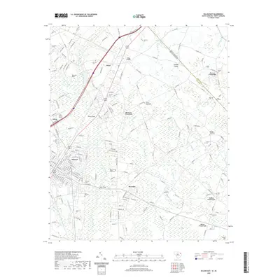
2020 Map of Dillon East
USGS Topo · Published 2020About this map
The Little Pee Dee River and its intricate network of swamplands define this section of Dillon County, where the landscape is marked by unique features like Manning Bay and Colson Bay. The city of Dillon serves as the primary hub, showing a dense street grid that transitions into the rural communities of Riverdale, Hamer, and Selma. This modern survey documents the persistence of early agricultural and family centers, including numerous church-affiliated cemeteries such as Kentyre Presbyterian Church Cem and Mount Calvary Baptist Church Cem.
Find a feature on this map
186 named features on this map. Tap any name to fly to it.
Don’t see what you’re looking for? This feature index may not catch every label — zoom into the map to look around manually.
Map Details
Editions of this 2020 Dillon East Map
This is the sole edition of this map. No revisions or reprints were ever made.
Other maps of this area

1943 · Pages Mill
USGS Topo · 1:62,500

1953 · Florence
USGS Topo · 1:250,000

1954 · Florence
USGS Topo · 1:250,000

1959 · Fork
USGS Topo · 1:24,000

1960 · Latta
USGS Topo · 1:24,000

1960 · Dillon East
USGS Topo · 1:24,000

1960 · Dillon West
USGS Topo · 1:24,000

1962 · Lake View
USGS Topo · 1:24,000

1962 · Gaddysville
USGS Topo · 1:24,000

1962 · Fair Bluff
USGS Topo · 1:62,500