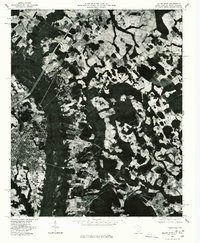
1976 Map of Dillon East
USGS Topo · Published 1976About this map
Dillon sits at the southwestern corner of this orthophotoquad, where the city’s residential grid and commercial core transition into the agricultural landscape of the South Carolina-North Carolina border. Taken from 1976 aerial photography, the imagery provides an overhead perspective on the patchwork of cleared fields and dense timber stands characteristic of the Coastal Plain. The northern portion of the map is marked by the settlement of Hamer, while the eastern side centers on Stewarts Crossroads. This survey provides a distinct view of mid-1970s land use, capturing the expansion of transportation corridors and the persistence of traditional rural crossroads and family-named locales during a period of steady growth for the Pee Dee region.
Find a feature on this map
3 named features on this map. Tap any name to fly to it.
Don’t see what you’re looking for? This feature index may not catch every label — zoom into the map to look around manually.
Map Details
Editions of this 1976 Dillon East Map
2 editions found
Other maps of this area

1943 · Pages Mill
USGS Topo · 1:62,500

1953 · Florence
USGS Topo · 1:250,000

1954 · Florence
USGS Topo · 1:250,000

1959 · Fork
USGS Topo · 1:24,000

1960 · Latta
USGS Topo · 1:24,000

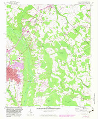
1960 · Dillon East
USGS Topo · 1:24,000

1960 · Dillon West
USGS Topo · 1:24,000

1962 · Lake View
USGS Topo · 1:24,000

1962 · Gaddysville
USGS Topo · 1:24,000

1962 · Fair Bluff
USGS Topo · 1:62,500