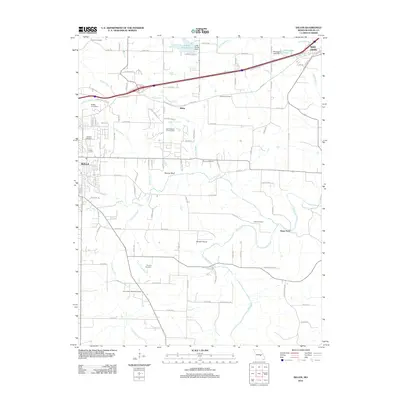
2012 Map of Dillon
USGS Topo · Published 2012About this map
Rolla anchors the southwestern corner of this survey, where the urban grid gives way to the drainage systems of the Bourbeuse River and Dry Fork. This landscape in Phelps County is characterized by a dense network of family and community landmarks, including Wishon Cemetery, Brown Cemetery, and Elliot Cemetery, which reflect generations of settlement between the modern hubs of Saint James and the smaller community of Dillon. The terrain is marked by the prominent Panther Bluff and an intricate web of watercourses like Little Dry Fork and Green Acre Branch. The presence of Morgan Airport and the Oak Meadow Country Club indicates mid-century development patterns, while the path of Old Hwy 66 through the northern half of the map preserves a trace of the historic transportation corridor that once defined movement through the Missouri Ozarks.
Find a feature on this map
115 named features on this map. Tap any name to fly to it.
Don’t see what you’re looking for? This feature index may not catch every label — zoom into the map to look around manually.
Map Details
Editions of this 2012 Dillon Map
This is the sole edition of this map. No revisions or reprints were ever made.
Other maps of this area

1912 · Rolla
USGS Topo · 1:62,500

1928 · Meramec Spring
USGS Topo · 1:62,500

1934 · Redbird
USGS Topo · 1:62,500

1937 · Vienna
USGS Topo · 1:62,500

1938 · Redbird
USGS Topo · 1:62,500

1938 · Vienna
USGS Topo · 1:48,000

1949 · Saint Louis
USGS Topo · 1:250,000

1949 · Vienna
USGS Topo · 1:62,500

1949 · Rolla
USGS Topo · 1:250,000

1949 · Meramec Spring
USGS Topo · 1:62,500