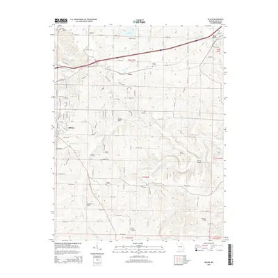
2015 Map of Dillon
USGS Topo · Published 2015About this map
The Bourbeuse River and Dry Fork meander through this landscape between Rolla and Saint James, where early 21st-century rural Missouri life is shaped by long-standing family landmarks and a network of county roads. Genealogists will find a wealth of burial grounds including Old Dean Cemetery, Dewing Cemetery, and Elliot Cemetery, often located near prominent terrain features like Panther Bluff or Schuman Ridge.
Find a feature on this map
128 named features on this map. Tap any name to fly to it.
Don’t see what you’re looking for? This feature index may not catch every label — zoom into the map to look around manually.
Map Details
Editions of this 2015 Dillon Map
This is the sole edition of this map. No revisions or reprints were ever made.
Other maps of this area

1912 · Rolla
USGS Topo · 1:62,500

1928 · Meramec Spring
USGS Topo · 1:62,500

1934 · Redbird
USGS Topo · 1:62,500

1937 · Vienna
USGS Topo · 1:62,500

1938 · Redbird
USGS Topo · 1:62,500

1938 · Vienna
USGS Topo · 1:48,000

1949 · Saint Louis
USGS Topo · 1:250,000

1949 · Vienna
USGS Topo · 1:62,500

1949 · Rolla
USGS Topo · 1:250,000

1949 · Meramec Spring
USGS Topo · 1:62,500