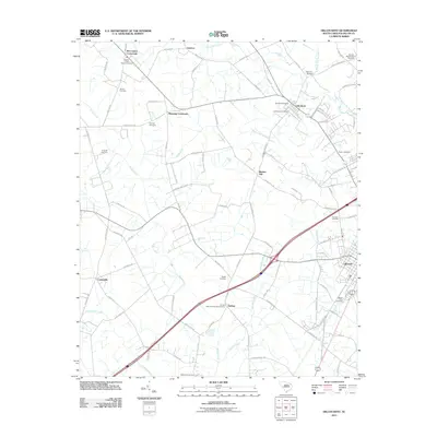
2011 Map of Dillon West
USGS Topo · Published 2011About this map
Dillon sits at the eastern edge of this landscape, where the urban grid of the county seat gives way to the agricultural expanses of the South Carolina Coastal Plain. The map reveals a high density of rural religious and funerary sites, reflecting deep-rooted community ties at Reedy Creek Church, Beulah Baptist Church, and the Dothan Methodist Church Cemetery. These landmarks are connected by a network of crossroads such as McCormick Crossroads and Manning Crossroads, which historically served as local hubs for the surrounding farmsteads.
Find a feature on this map
92 named features on this map. Tap any name to fly to it.
Don’t see what you’re looking for? This feature index may not catch every label — zoom into the map to look around manually.
Map Details
Editions of this 2011 Dillon West Map
This is the sole edition of this map. No revisions or reprints were ever made.
Other maps of this area

1942 · Rockingham
USGS Topo · 1:125,000

1943 · Gum Swamp
USGS Topo · 1:62,500

1953 · Florence
USGS Topo · 1:250,000

1954 · Florence
USGS Topo · 1:250,000

1959 · Fork
USGS Topo · 1:24,000

1960 · Latta
USGS Topo · 1:24,000

1960 · Dillon East
USGS Topo · 1:24,000

1960 · Dillon West
USGS Topo · 1:24,000

1971 · Minturn
USGS Topo · 1:24,000

1972 · Clio
USGS Topo · 1:24,000