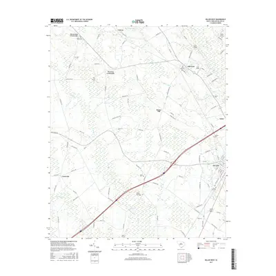
2017 Map of Dillon West
USGS Topo · Published 2017About this map
Dillon serves as the focal point of this South Carolina coastal plain landscape, where the modern street grid of the city meets an older network of rural crossroads and family settlements. The terrain is defined by its hydrology, specifically the swampy basins of Sweat Swamp and Maple Swamp, alongside the flowing waters of the Little Pee Dee River. These water bodies historically influenced settlement patterns, as seen in the distribution of community landmarks such as Little Rock and Centerville.
Find a feature on this map
98 named features on this map. Tap any name to fly to it.
Don’t see what you’re looking for? This feature index may not catch every label — zoom into the map to look around manually.
Map Details
Editions of this 2017 Dillon West Map
This is the sole edition of this map. No revisions or reprints were ever made.
Other maps of this area

1942 · Rockingham
USGS Topo · 1:125,000

1943 · Gum Swamp
USGS Topo · 1:62,500

1953 · Florence
USGS Topo · 1:250,000

1954 · Florence
USGS Topo · 1:250,000

1959 · Fork
USGS Topo · 1:24,000

1960 · Latta
USGS Topo · 1:24,000

1960 · Dillon East
USGS Topo · 1:24,000

1960 · Dillon West
USGS Topo · 1:24,000

1971 · Minturn
USGS Topo · 1:24,000

1972 · Clio
USGS Topo · 1:24,000