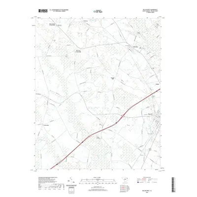
2020 Map of Dillon West
USGS Topo · Published 2020About this map
Dillon anchors the southeastern corner of this landscape, where the street grid begins to expand across Maple Swamp. This territory is defined by the slow-moving waters of the Little Pee Dee River and its numerous tributaries, including Sweat Swamp and Old Mill Cr. The rural character of the region is punctuated by long-standing community centers such as McCormick Crossroads and Manning Crossroads, which serve as navigation points amidst the extensive wetlands and agricultural fields.
Find a feature on this map
99 named features on this map. Tap any name to fly to it.
Don’t see what you’re looking for? This feature index may not catch every label — zoom into the map to look around manually.
Map Details
Editions of this 2020 Dillon West Map
This is the sole edition of this map. No revisions or reprints were ever made.
Other maps of this area

1942 · Rockingham
USGS Topo · 1:125,000

1943 · Gum Swamp
USGS Topo · 1:62,500

1953 · Florence
USGS Topo · 1:250,000

1954 · Florence
USGS Topo · 1:250,000

1959 · Fork
USGS Topo · 1:24,000

1960 · Latta
USGS Topo · 1:24,000

1960 · Dillon East
USGS Topo · 1:24,000

1960 · Dillon West
USGS Topo · 1:24,000

1971 · Minturn
USGS Topo · 1:24,000

1972 · Clio
USGS Topo · 1:24,000