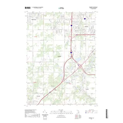
2023 Map of Dimondale
USGS Topo · Published 2023About this map
Dimondale and Potterville anchor the southern reaches of this Eaton County landscape, where the meandering Grand River carves through the glacial terrain. The map captures a complex network of suburban expansion and agricultural roots west of Lansing, illustrating how historic settlements like West Windsor and Millett have been integrated into a modern transportation corridor. This 2023 survey highlights the persistent legacy of early Michigan pioneers through numerous burial grounds, including the centrally located Pioneer Cem and the Delta Center Cem near the historic Delta Center crossroads.
Find a feature on this map
169 named features on this map. Tap any name to fly to it.
Don’t see what you’re looking for? This feature index may not catch every label — zoom into the map to look around manually.
Map Details
Editions of this 2023 Dimondale Map
This is the sole edition of this map. No revisions or reprints were ever made.
Other maps of this area

1910 · Lansing
USGS Topo · 1:62,500

1912 · Lansing
USGS Topo · 1:62,500

1927 · De Witt
USGS Topo · 1:62,500

1945 · Portland
USGS Topo · 1:62,500

1949 · Charlotte
USGS Topo · 1:62,500

1958 · Grand Rapids
USGS Topo · 1:250,000

1961 · Grand Rapids
USGS Topo · 1:250,000

1962 · Grand Rapids
USGS Topo · 1:250,000
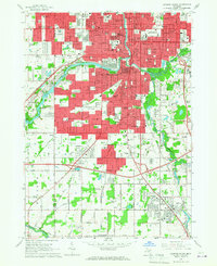
1965 · Lansing South
USGS Topo · 1:24,000
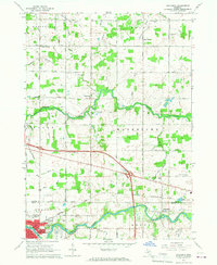
1965 · Wacousta
USGS Topo · 1:24,000