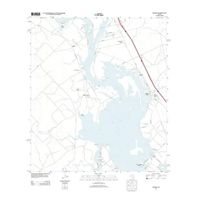
2013 Map of Dinero
USGS Topo · Published 2013About this map
Lake Corpus Christi dominates the landscape of this region north of Sandia, where the waters branch into numerous inlets and named drainage systems. The settlement of Dinero sits on the western side of the lake, north of Twin Oaks Ranch and the family-associated Wright Cem. To the south, residential development is concentrated at Peace Valley Harbor and Los Lomas, reflecting the area's growth as a lakeside community. The terrain is marked by distinctive elevations and seasonal drainages, including Balania Hill and Hideaway Hill, alongside numerous hollows such as Mustang Hollow and Rufe Williams Hollow. Local history is preserved in several burial sites across the landscape, including Balania Cem and Lagarto Cem. These sites, along with names like Mount Lucas, provide anchor points for genealogists tracking family lineages in this part of Live Oak County.
Find a feature on this map
61 named features on this map. Tap any name to fly to it.
Don’t see what you’re looking for? This feature index may not catch every label — zoom into the map to look around manually.
Map Details
Editions of this 2013 Dinero Map
This is the sole edition of this map. No revisions or reprints were ever made.
Other maps of this area

1920 · Mikeska
USGS Topo · 1:125,000

1925 · Oakville No. 4
USGS Topo · 1:48,000

1925 · Mathis No. 2
USGS Topo · 1:48,000

1925 · Mathis No. 3
USGS Topo · 1:48,000

1927 · Mathis
USGS Topo · 1:62,500

1927 · Oakville
USGS Topo · 1:62,500

1953 · Crystal City
USGS Topo · 1:250,000

1953 · Beeville
USGS Topo · 1:250,000

1954 · Fleming
USGS Topo · 1:62,500

1954 · Mathis
USGS Topo · 1:62,500
Featured Places
- Peace Valley Harbor, TX
- Dinero, TX
- Lakeshore Gardens, TX
- Lake Mathis Point Colonia, TX
- Swinney Switch, TX