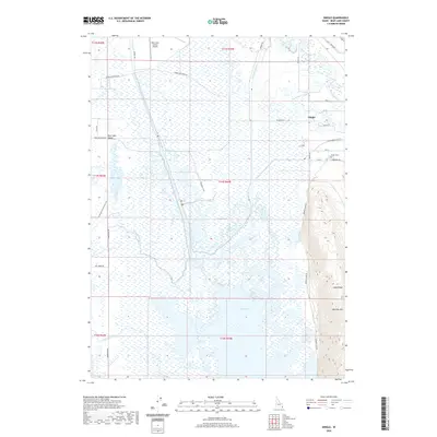
2020 Map of Dingle
USGS Topo · Published 2020About this map
The lowlands of Bear Lake Valley define this portion of Idaho, where the management of water is evident in a complex network of man-made waterways. The Rainbow Canal, Black Otter Canal, and Ream-Crockett Canal cut across the landscape, feeding into and drawing from expansive wetlands such as Dingle Swamp and Mud Lake. These engineered features illustrate the agricultural and hydrological history of the region, managing the flow between the Bear River and its various tributaries like Bloomington Creek and Spring Creek.
Find a feature on this map
44 named features on this map. Tap any name to fly to it.
Don’t see what you’re looking for? This feature index may not catch every label — zoom into the map to look around manually.
Map Details
Editions of this 2020 Dingle Map
This is the sole edition of this map. No revisions or reprints were ever made.
Other maps of this area

1909 · Montpelier
USGS Topo · 1:125,000

1911 · Montpelier
USGS Topo · 1:125,000

1955 · Preston
USGS Topo · 1:250,000

1958 · Preston
USGS Topo · 1:250,000

1962 · Preston
USGS Topo · 1:250,000

1967 · Montpelier
USGS Topo · 1:24,000

1967 · Paris
USGS Topo · 1:24,000

1967 · Ovid
USGS Topo · 1:24,000

1967 · Dingle
USGS Topo · 1:24,000
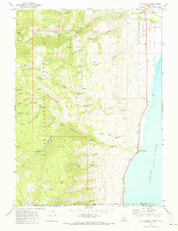
1969 · St Charles
USGS Topo · 1:24,000