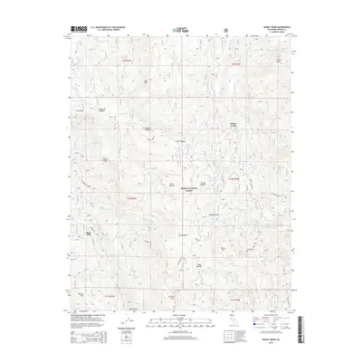
2015 Map of Dinkey Creek
USGS Topo · Published 2015About this map
Bretz Mill and the eponymous settlement of Dinkey Creek anchor this high-elevation portion of the Sierra National Forest. The landscape is defined by a dense network of meadows and watercourses, including Markwood Meadow, Glen Meadow, and Nutmeg Glen, which drain into various forks of Dinkey Creek and Big Cr. This geography reflects a history of small-scale mountain industry and seasonal grazing, where named meadows served as critical navigation points and homestead sites within the high timber. Granite landforms like Dinkey Dome, Dinkey Mtn, and Bald Mtn rise above the drainage basins. Transportation is concentrated along Dinkey Creek Rd and Mc Kinley Grove Rd, connecting local points of interest like the Honeymoon Pool to the broader Fresno County backcountry.
Find a feature on this map
50 named features on this map. Tap any name to fly to it.
Don’t see what you’re looking for? This feature index may not catch every label — zoom into the map to look around manually.
Map Details
Editions of this 2015 Dinkey Creek Map
This is the sole edition of this map. No revisions or reprints were ever made.
Other maps of this area

1904 · Kaiser
USGS Topo · 1:125,000

1922 · Trimmer
USGS Topo · 1:96,000

1924 · Dinuba
USGS Topo · 1:125,000

1942 · Watts Valley
USGS Topo · 1:62,500

1944 · Watts Valley
USGS Topo · 1:62,500

1947 · Mariposa
USGS Topo · 1:250,000

1948 · Fresno
USGS Topo · 1:250,000

1948 · Mariposa
USGS Topo · 1:250,000

1952 · Patterson Mountain
USGS Topo · 1:62,500

1953 · Huntington Lake
USGS Topo · 1:62,500