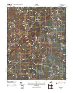
2010 Map of Dinwiddie
USGS Topo · Published 2010About this map
Dinwiddie serves as a central hub for this part of south-central Virginia, where the historic road network intersects with modern thoroughfares. The landscape is defined by the headwaters of several drainages, notably Stony Creek and Gravelly Run, which dictate the placement of early settlements and family landmarks. The map documents a significant density of local burial grounds, including the Olive Branch Cemetery and the Hawkins Memorial Cemetery, which provide essential clues for genealogical research in the area. Smaller residential clusters like Bonneville and Stony Springs are connected by a web of rural routes such as Courthouse Rd and Goose Pond Rd. This 2010 survey illustrates the evolution of the region's infrastructure, balancing the persistence of local landmarks like the Dinwiddie Post Office and Quaker Bridge with the development of communities such as Confederate Woods.
Find a feature on this map
56 named features on this map. Tap any name to fly to it.
Don’t see what you’re looking for? This feature index may not catch every label — zoom into the map to look around manually.
Map Details
Editions of this 2010 Dinwiddie Map
This is the sole edition of this map. No revisions or reprints were ever made.
Other maps of this area

1894 · Petersburg
USGS Topo · 1:62,500

1897 · Amelia
USGS Topo · 1:125,000

1919 · Jarratt
USGS Topo · 1:62,500

1919 · Mc Kenney
USGS Topo · 1:48,000

1921 · Mc Kenney
USGS Topo · 1:62,500

1943 · Mc Kenney
USGS Topo · 1:62,500

1943 · De Witt
USGS Topo · 1:24,000

1943 · Dinwiddie
USGS Topo · 1:24,000

1943 · Church Road
USGS Topo · 1:24,000

1943 · Sutherland
USGS Topo · 1:24,000