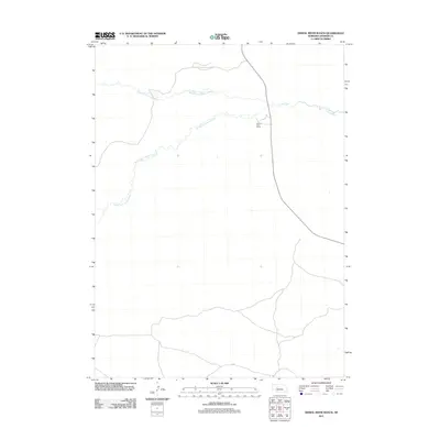
2011 Map of Dismal River Ranch
USGS Topo · Published 2011About this map
Dismal River Ranch serves as a lone human landmark in this section of Hooker County, where the topography is defined by the convergence of major prairie waterways. The landscape centers on the confluence where the North Fork Dismal River and the South Fork Dismal River meet to form the main stem of the Dismal River. This 2011 survey illustrates the sparse ranching infrastructure and winding watercourses of the Nebraska Sandhills, a region where large-scale landholdings are often centered around these critical water sources. The map provides a clear record of the area's rural road network and drainage patterns, essential for understanding the spatial organization of high-plains cattle country in the early twenty-first century.
Find a feature on this map
4 named features on this map. Tap any name to fly to it.
Don’t see what you’re looking for? This feature index may not catch every label — zoom into the map to look around manually.
Map Details
Editions of this 2011 Dismal River Ranch Map
This is the sole edition of this map. No revisions or reprints were ever made.
Other maps of this area

1947 · Dismal River Ranch
USGS Topo · 1:62,500

1949 · Dismal River Ranch
USGS Topo · 1:62,500

1949 · Wright Valley
USGS Topo · 1:62,500

1950 · Shimmins Lake
USGS Topo · 1:62,500

1951 · Tryon
USGS Topo · 1:62,500

1951 · Wright Valley
USGS Topo · 1:62,500

1954 · North Platte
USGS Topo · 1:250,000

1956 · North Platte
USGS Topo · 1:250,000

1957 · North Platte
USGS Topo · 1:250,000

1967 · North Platte
USGS Topo · 1:250,000