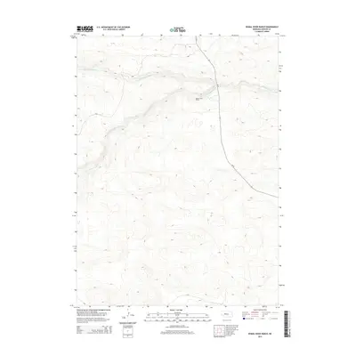
2014 Map of Dismal River Ranch
USGS Topo · Published 2014About this map
Dismal River Ranch serves as a primary landmark in this Hooker County landscape, where the confluence of prairie waters forms the headwaters of a major regional drainage. The geography is defined by the meeting of the N Fork Dismal River and the S Fork Dismal River, which join to flow eastward as the main stem of the Dismal River. This 2014 survey reveals a sparsely populated terrain dominated by ranching interests and the sinuous paths of these spring-fed forks. Modern access is provided by Ne-97, the sole highway corridor cutting through the undulating hills. The map illustrates a typical Sandhills settlement pattern, where infrastructure and named sites are closely tied to the available water sources in an otherwise expansive and open environment.
Find a feature on this map
5 named features on this map. Tap any name to fly to it.
Don’t see what you’re looking for? This feature index may not catch every label — zoom into the map to look around manually.
Map Details
Editions of this 2014 Dismal River Ranch Map
This is the sole edition of this map. No revisions or reprints were ever made.
Other maps of this area

1947 · Dismal River Ranch
USGS Topo · 1:62,500

1949 · Dismal River Ranch
USGS Topo · 1:62,500

1949 · Wright Valley
USGS Topo · 1:62,500

1950 · Shimmins Lake
USGS Topo · 1:62,500

1951 · Tryon
USGS Topo · 1:62,500

1951 · Wright Valley
USGS Topo · 1:62,500

1954 · North Platte
USGS Topo · 1:250,000

1956 · North Platte
USGS Topo · 1:250,000

1957 · North Platte
USGS Topo · 1:250,000

1967 · North Platte
USGS Topo · 1:250,000