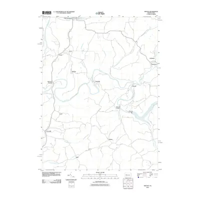
2010 Map of Distant
USGS Topo · Published 2010About this map
Mahoning Creek winds through the heart of this landscape, its path punctuated by the infrastructure of local industry and river management. Evidence of the region’s iron-making heritage is preserved in the names Mahoning Furnace and McCrea Furnace, while the downstream Mahoning Creek Dam represents more modern water control. The rugged creek valleys dictated the placement of several small settlements including Putneyville and Eddyville, which are connected by a network of winding valley roads.
Find a feature on this map
36 named features on this map. Tap any name to fly to it.
Don’t see what you’re looking for? This feature index may not catch every label — zoom into the map to look around manually.
Map Details
Editions of this 2010 Distant Map
This is the sole edition of this map. No revisions or reprints were ever made.
Other maps of this area

1901 · Rural Valley
USGS Topo · 1:62,500

1903 · Rural Valley
USGS Topo · 1:62,500

1906 · Clarion
USGS Topo · 1:62,500

1907 · Clarion
USGS Topo · 1:62,500

1909 · Smicksburg
USGS Topo · 1:62,500

1924 · Brookville
USGS Topo · 1:62,500

1926 · Brookville
USGS Topo · 1:62,500

1938 · Smicksburg
USGS Topo · 1:62,500

1939 · Smicksburg
USGS Topo · 1:62,500

1944 · Brookville
USGS Topo · 1:62,500