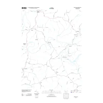
2013 Map of Distant
USGS Topo · Published 2013About this map
Industrial history and rural settlement patterns converge along the winding banks of Mahoning Cr and Redbank Cr. This area of Armstrong County is defined by its early iron industry heritage, evidenced by locations such as Mahoning Furnace and McCrea Furnace. These sites, along with the proximity of Cannel Mine Rd, point to a landscape once deeply integrated into Pennsylvania's extractive and manufacturing economy.
Find a feature on this map
97 named features on this map. Tap any name to fly to it.
Don’t see what you’re looking for? This feature index may not catch every label — zoom into the map to look around manually.
Map Details
Editions of this 2013 Distant Map
This is the sole edition of this map. No revisions or reprints were ever made.
Other maps of this area

1901 · Rural Valley
USGS Topo · 1:62,500

1903 · Rural Valley
USGS Topo · 1:62,500

1906 · Clarion
USGS Topo · 1:62,500

1907 · Clarion
USGS Topo · 1:62,500

1909 · Smicksburg
USGS Topo · 1:62,500

1924 · Brookville
USGS Topo · 1:62,500

1926 · Brookville
USGS Topo · 1:62,500

1938 · Smicksburg
USGS Topo · 1:62,500

1939 · Smicksburg
USGS Topo · 1:62,500

1944 · Brookville
USGS Topo · 1:62,500