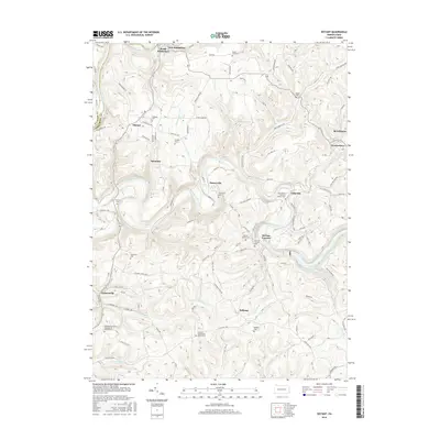
2016 Map of Distant
USGS Topo · Published 2016About this map
Redbank Creek carves the northern border of this Armstrong and Clarion County terrain, where the dual settlements of South Bethlehem and New Bethlehem face one another across the water. The landscape is defined by the winding passage of Mahoning Creek as it flows toward the Mahoning Cr Lake reservoir, passing through small communities like Putneyville and Eddyville. This area has long supported rural industry and faith, evidenced by the presence of McCrea Furnace and numerous hilltop burial grounds that preserve local family histories.
Find a feature on this map
101 named features on this map. Tap any name to fly to it.
Don’t see what you’re looking for? This feature index may not catch every label — zoom into the map to look around manually.
Map Details
Editions of this 2016 Distant Map
This is the sole edition of this map. No revisions or reprints were ever made.
Other maps of this area

1901 · Rural Valley
USGS Topo · 1:62,500

1903 · Rural Valley
USGS Topo · 1:62,500

1906 · Clarion
USGS Topo · 1:62,500

1907 · Clarion
USGS Topo · 1:62,500

1909 · Smicksburg
USGS Topo · 1:62,500

1924 · Brookville
USGS Topo · 1:62,500

1926 · Brookville
USGS Topo · 1:62,500

1938 · Smicksburg
USGS Topo · 1:62,500

1939 · Smicksburg
USGS Topo · 1:62,500

1944 · Brookville
USGS Topo · 1:62,500